102 infrared bands for every point on the sky
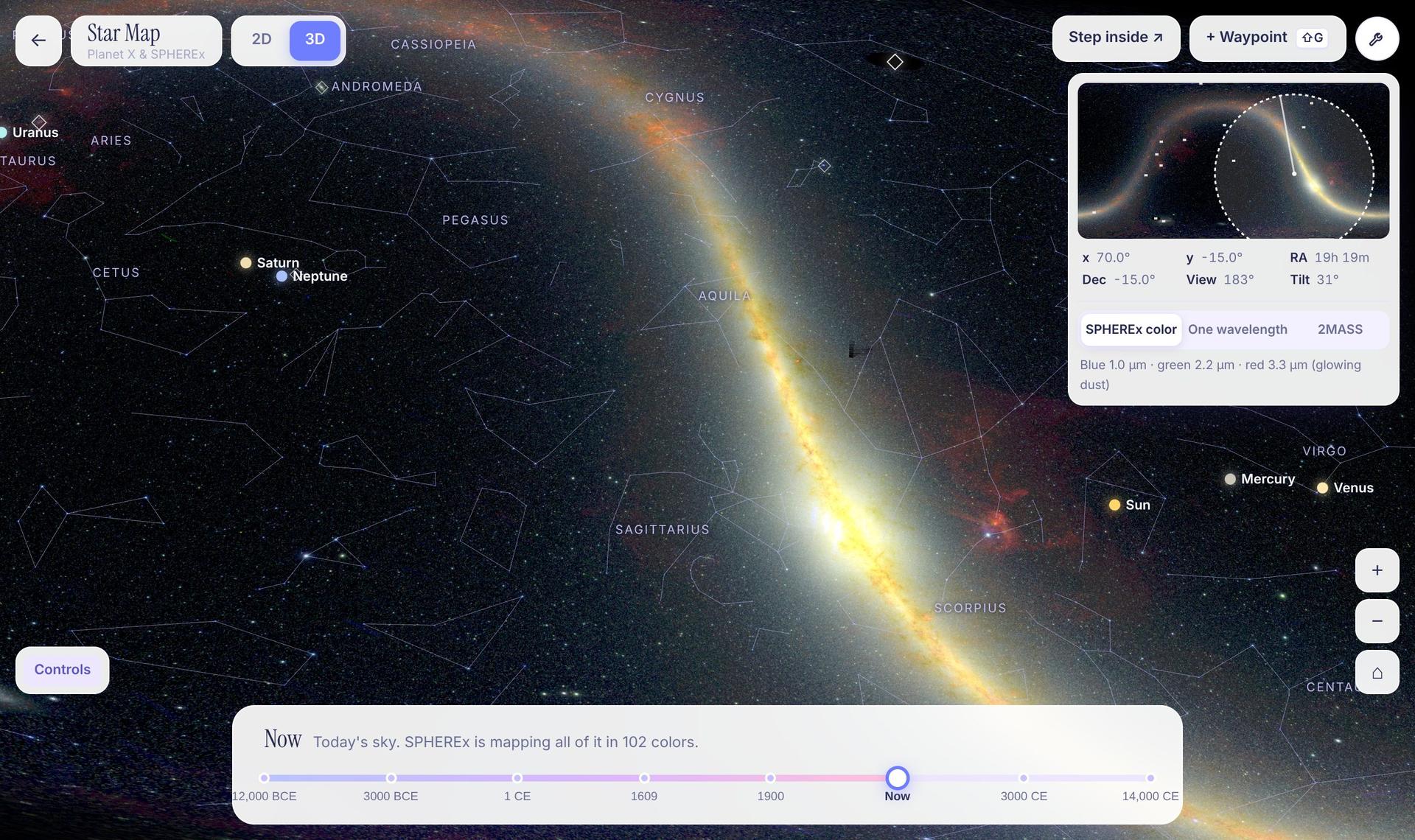
SPHEREx DR1 imagery streams straight from NASA/IPAC's archive. View it in color, one wavelength at a time, or switch to 2MASS.
102infrared bands
NASA Space Apps · Planet X & SPHEREx
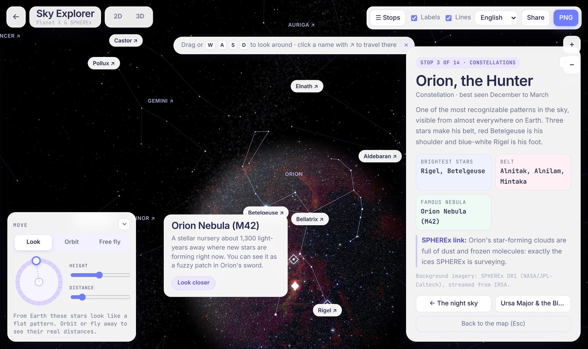
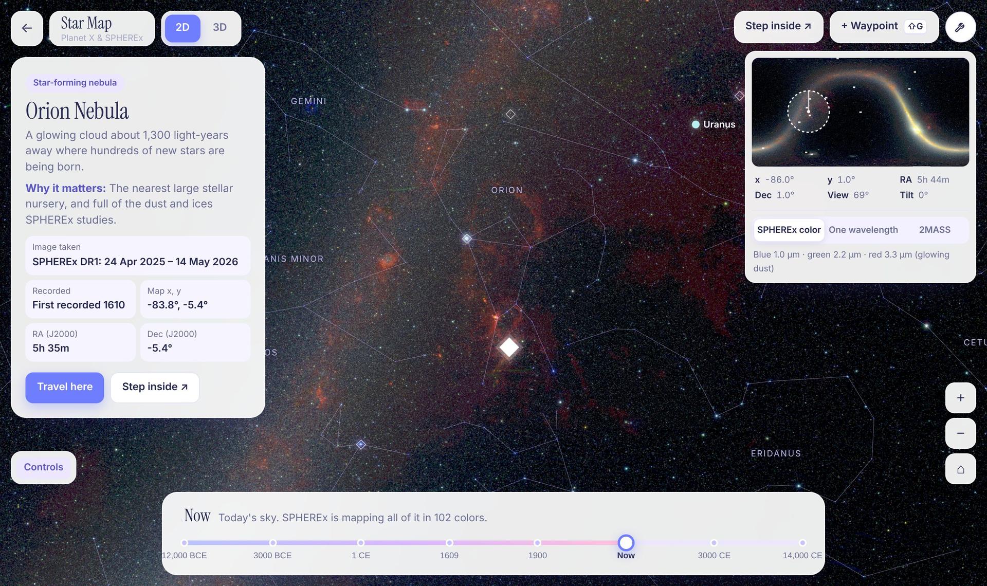
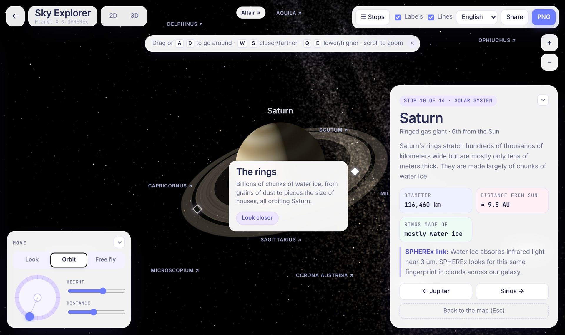
An interactive map built on SPHEREx Data Release 1. Pan across the whole sky in 2D or 3D, scan its 102 infrared bands, rewind the sky 14,000 years, and open 360° views of stars, planets, galaxies and all 88 constellations.
SPHEREx DR1 imagery streams straight from NASA/IPAC's archive. View it in color, one wavelength at a time, or switch to 2MASS.
Diamonds mark notable objects. Click once to fly there, again to open a 360° view, then orbit it or fly with W A S D.
SPHEREx Data Release 1, streamed live from NASA/IPAC's Infrared Science Archive. Pan, orbit and zoom like Google Maps, tilt into 3D, and hyperspace-jump between waypoints.
Each dot is one of SPHEREx's 102 bands. Push a galaxy farther away and watch its light stretch, or switch to an icy cloud to see the fingerprints of frozen water and CO₂.
At z = 0.50, the light has traveled for 5.0 billion years and Hα has stretched to 0.98 µm, landing in band 13 of 102. Its position gives the galaxy's distance, which is how SPHEREx builds a 3D map.
Toy model for illustration. Band layout follows SPHEREx's published design.
NASA's SPHEREx splits near-infrared light into 102 colors for every point on the sky, building the first all-sky spectral map.
By mapping the 3D positions of hundreds of millions of galaxies, SPHEREx looks for faint patterns left by cosmic inflation, the burst of expansion in the first fraction of a second after the Big Bang.
SPHEREx measures the total glow of all galaxies, including ones too faint to see on their own, to trace how much light galaxies have made across cosmic time.
Spectra of millions of stars behind dusty clouds reveal frozen water, carbon dioxide and other ices, which are ingredients for planets and possibly for life.
SPHEREx is mapping the entire sky in 102 infrared colors, but its data lives in archives built for astronomers. Most people never get to see what it is exploring, or why it matters.
Sky Explorer: a Google Maps-style map of the whole sky, streamed live from SPHEREx's real infrared data. Fly over it in 2D or 3D, switch between SPHEREx's 102 colors, step into 360° views of planets and constellations at their real distances, and blink two real SPHEREx passes taken six months apart to catch things that move: the same method you'd use to hunt for a Planet X.
Runs in your browser · no install · live data from IRSA